Geosun Drone LiDAR GS-100C+ Support DJI Matrice 300 Yuneec H850 Aerial Mapping
Geosun gAirHawk Series GS-100C+ Drone LiDAR
Drone LiDAR scanning system GS-100C+ is the most affordable uav lidar scanning system choice to start aerial mapping because of its full function.The most popular laser sensor Livox avia, high accuracy IMU and built-in RGB camera work together for excellent performance on different applications of surveying.
Geosun gAirHawk Series GS-100C+ Drone LiDAR Specification
| Drone LiDAR Scanning System gAirHawk GS-100C+ |
| | Item Name | System Parameter |
|
GS-100C+
Parameter | Weight | 1022g |
| Measuring accuracy | Less than 10 cm (110 m AGL) |
| Power range | 12V~16V |
| Working temperature | -20℃~+55℃ |
| Consumption | Average 20W |
| Support Platform | GS-800 Multi Rotor, VTOL Fixed Wing |
| Storage | 64 GB storage, maximum support 128GB TF card |
| Lidar Unit | Laser Model | Livox Avia |
| Measuring Range | 190m@10% Reflectivity |
| Laser class | 905nm Class1 (IEC 60825-1:2014) |
| Laser line number | Equivalent to 64-beam |
| Range Precision | 2cm |
| data | Triple-echo, 720,000 Points/Sec |
| FOV | 70° the circular view |
| POS Unit | Update frequency | 200HZ |
| Heading accuracy | 0.040° |
| Pitch accuracy | 0.015° |
| Rolling accuracy | 0.015° |
| Position accuracy | 0.02 - 0.05m |
| GNSS signal type | GPSL1/L2/L5 GLONASSL1/L2 BDS B1/B2/B3 GAL E1/E5a/5b |
| Pre-processing software | POS software | Output information: position, speed, attitude |
| Point cloud software | Output point cloud data format: LAS format, custom TXT format |
| Built-in Camera | FOV | 83 Degree |
| Effective Pixel | 26 Mega Pixel |
| Trigger event | Distance or Time trigger |
Geosun gAirHawk Series GS-100C+ Drone LiDAR Application
Geosun Malaysia partner have a demonstration for drone LiDAR scanning system GS-100C+mounted on drone DJI M300.


Geosun gAirHawk Series GS-100C+ Drone LiDAR Free Trial Software
The Guideline of LiDAR Usage and Reference.pdf
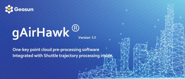
Point Cloud Pre-Processing Software Integrated With Trajectory Processing----Geosun Self-developed gAirHawk 5.0
Key Features of gAirHawk 5.0 Software
1. Raw data: intelligently load
2. Four default coordinates
3. Point cloud Optimization
4. Start and stop calculation
Free trial test, achieve high precision

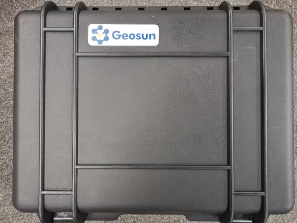
Package of Drone LiDAR Scanning System GS-100C+
Drone LiDAR Scanning System GS-100C+ is packed by suit case with EVA material liner inside, then covered by hard carton box. It is suitable for air shipment and sea shipment.

Product Tags:

|
|
Geosun Drone LiDAR GS-100C+ Support DJI Matrice 300 Yuneec H850 Aerial Mapping Images
|


